Topographical Surveys
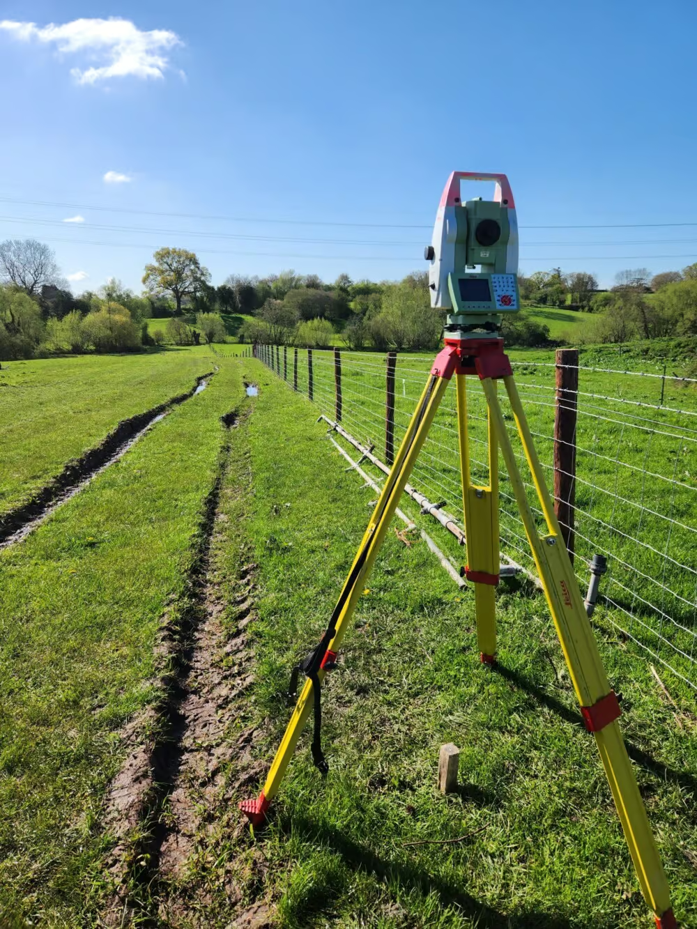
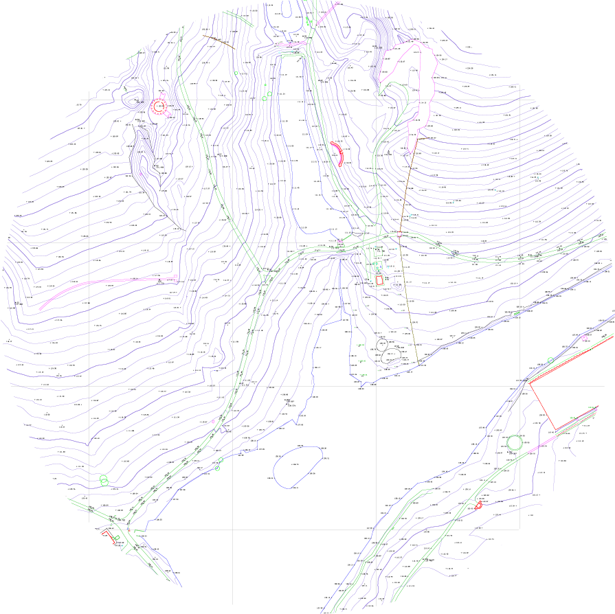
Above Surface features accurately located using the latest survey technologies and software. The land survey will include the existing buildings and structures, boundary, a grid of levels, surface details, tree positions, service covers and much more…
Topographical Surveys
Above Surface features accurately located using the latest survey technologies and software. The land survey will include the existing buildings and structures, boundary, a grid of levels, surface details, tree positions, service covers and much more…
Do you have a project we can help with?
Mapping topographic features with accuracy
Our topographical survey drawings provide an accurate digital plan representation of the man-made and natural environment, capturing vital information such as surface features, physical boundary details, and elevation changes to your individual specifications, presenting them on a scaled survey drawing. Read more here about what a topographical survey shows.
We utilise the latest data capture techniques to efficiently record these features for topographical surveys in London and on-sites all over the UK. Whether it’s a domestic garden, a sprawling rural estate, or a densely developed urban site, our topographic survey teams have the experience and expertise to deliver exceptional topographical survey results.
We have a proven track record of delivering detailed and accurate drawings produced in AutoCAD and 3D surface models delivered in REVIT, IFC, and more. Furthermore, we are well-equipped to handle challenging sites with unique characteristics or difficult terrain.
We are readily available to discuss your project needs and tailor our topographic surveying approach to meet your specific requirements. If you’d like to find out more about what a topographic survey involves, please read our detailed blog posts here >
More Details
Land & Topographical Surveys FAQ
Case Study: Crouch End | North London
Topographical Survey, Utility Record Searches and FastView
Laser Surveys were tasked with conducting a detailed topographical survey of an urban highway that stretches over 2.5 kilometres, navigating through the heart of North London. Survey work was conducted in the latter part of the year, and as a result we did experience a few weather challenges, however our teams of experienced surveyors efficiently delivered the required topographical survey data using traditional survey methods including total stations and GPS instruments, adhering strictly to the client’s specifications and timelines. Our teams ensured that every project detail was captured, providing valuable insights for future urban planning and development.
Alongside the topographical survey, we also conducted C2 Desktop Utility Searches. Furthermore, our partnership with CentremapsLive enabled us to provide our client with a “FastView” Report — a valuable solution that digitises the linework of each utility.
Why choose Laser Surveys as your Survey partner
Our Core Values
We Generate Results for Our Customers

“I have used Laser surveys on two projects in the health sector. I found them to offer a professional, reliable and prompt service.
The site surveyors were polite and minimally intrusive and the admin team was very amenable and always willing to help, even when our requests were quite challenging!
All in all a very customer-focused, professional service.”
 Sarah Haider - NHS
“On behalf of our Client and Project Team, we are so grateful for the level of service you have provided. Please be assured you will be considered for all further surveys.”
 Ian George - Airey Miller CM