Case Study: Topographical Surveys and Underground Services Surveys for Worcester City Car Parks
Project Overview
In 2022, Laser Surveys Limited was commissioned by Worcester City Council to conduct detailed surveys of multiple inner-city car parks. Our objective was to gather essential topographical and buried utility data to aid in the council’s records and support various infrastructure projects. This case study outlines our approach, methodology, and the outcomes of this extensive project.

Project Scope
Worcester City Council identified thirteen car parks that required surveying:
- Commandery Car Park
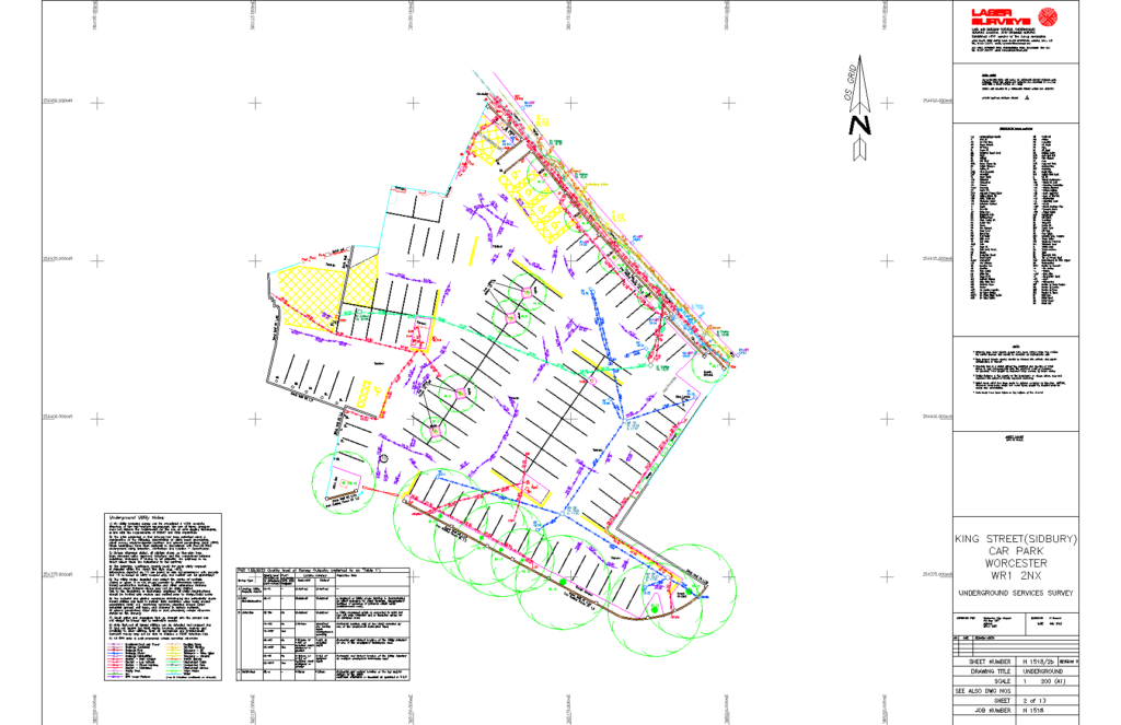
- King Street Car Park
- Clare Street Car Park
- Providence Street Car Park
- The Corn Market Car Park
- Tallow Hill Car Park
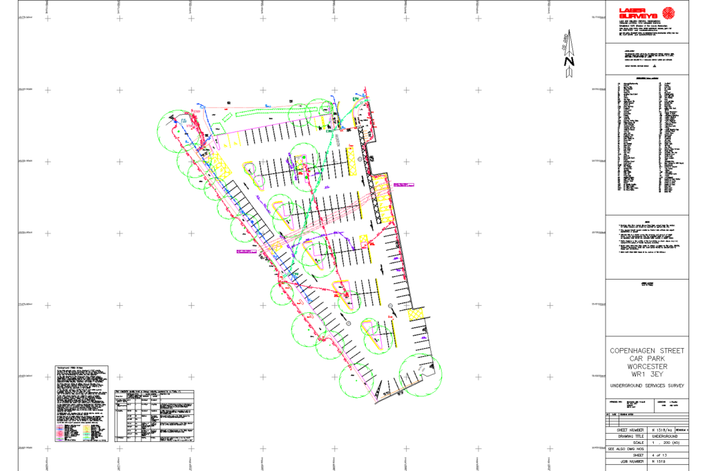
- Copenhagen Street Car Park
- Newport Street Car Parks (two areas)
- Croft Road Car Park
- The Cattle Market Car Park
- Pitchcroft Car Park
- The Moors Car Park
- Tybridge Street Car Park
Our tasks included performing detailed topographical surveys, capturing above-ground features and identifying any buried services within these sites.
Survey Methodology
We commenced with detailed topographical surveys to accurately map the above-ground features of each car park. This included precise documentation of road markings, kerbs, manholes, gullies, and other critical elements. Following this, we undertook utility surveys to PAS128 specification, employing Electromagnetic Location (EML) and Ground Penetrating Radar (GPR) techniques. These advanced methods allowed us to detect, and map buried utilities with high accuracy.
Additionally, we conducted thorough utility record searches for each site. By combining multiple sites per search area wherever possible, we achieved significant cost savings for the council.
Results and Impact
The surveys were executed efficiently and delivered on schedule. The survey data we provided will play a crucial role in the council’s planning and execution of various infrastructure projects. For instance, the surveys at Tallow Hill and King Street Car Parks have been instrumental in their EV charging station installations. Additionally, the surveys at St Martins Gate Car Park are being utilised for a large solar panel installation scheme.

Our tasks included performing detailed topographical surveys, capturing above-ground features and identifying any buried services within these sites.
Conclusion
The successful completion of these surveys highlights Laser Surveys’ expertise in delivering precise and reliable survey data. Our work for Worcester City Council not only supports their sustainable initiatives but also demonstrates our capability to handle complex, multi-site projects.
If you require high-quality survey information for your infrastructure projects in Worcestershire or anywhere else in the UK, please contact our help team today. We are here to provide the expertise and survey data you need for a successful project.