3D Site Models
3D Site Models

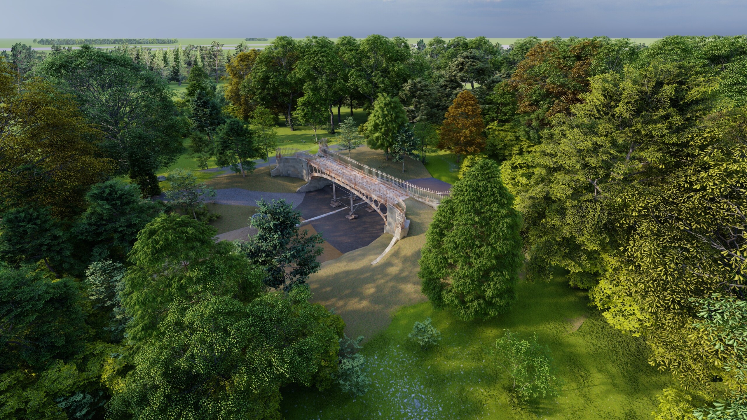
Existing site topography is modelled in Revit for easy inclusion with Consultants own BIM Models.
3D building models are often combined with a site model for further context, often with adjoining buildings modelled to a low LOD for massing or right of light purposes.
We can tailor site models to your project requirements, for example if particular features need a higher level of detail, certain key site components need identifying or even if you require us to run a solar study of the site. Just get in touch with your requirements and we can do the rest.
More Details

LOD1 – Basic Surface Model
Revit ‘toposurface’ based on site level data points.

LOD2 – Surface Model with subregions
As previous but divided into subregions to identify surface finishes.

LOD1 – Surface Model with subregions and site features
As previous but to include site features such as steps, street furniture, barriers, retaining walls, and trees also modelled as Revit objects.

Considerations for Site Models
We can tailor different Levels of Detail to different parts of the site as required/directed by client. Trees and bushes included within the model are generic examples. Height and position are taken from the topographical data, while spread is determined by the Revit family and cannot be amended