3D Services Models
3D Service Models

Modelling Underground Services
Modelling Underground Services
Detectable underground services are modelled either as 3D AutoCAD drawings or Revit models. Accessible underground and above ground services are laser scanned and a model produced from the point cloud.
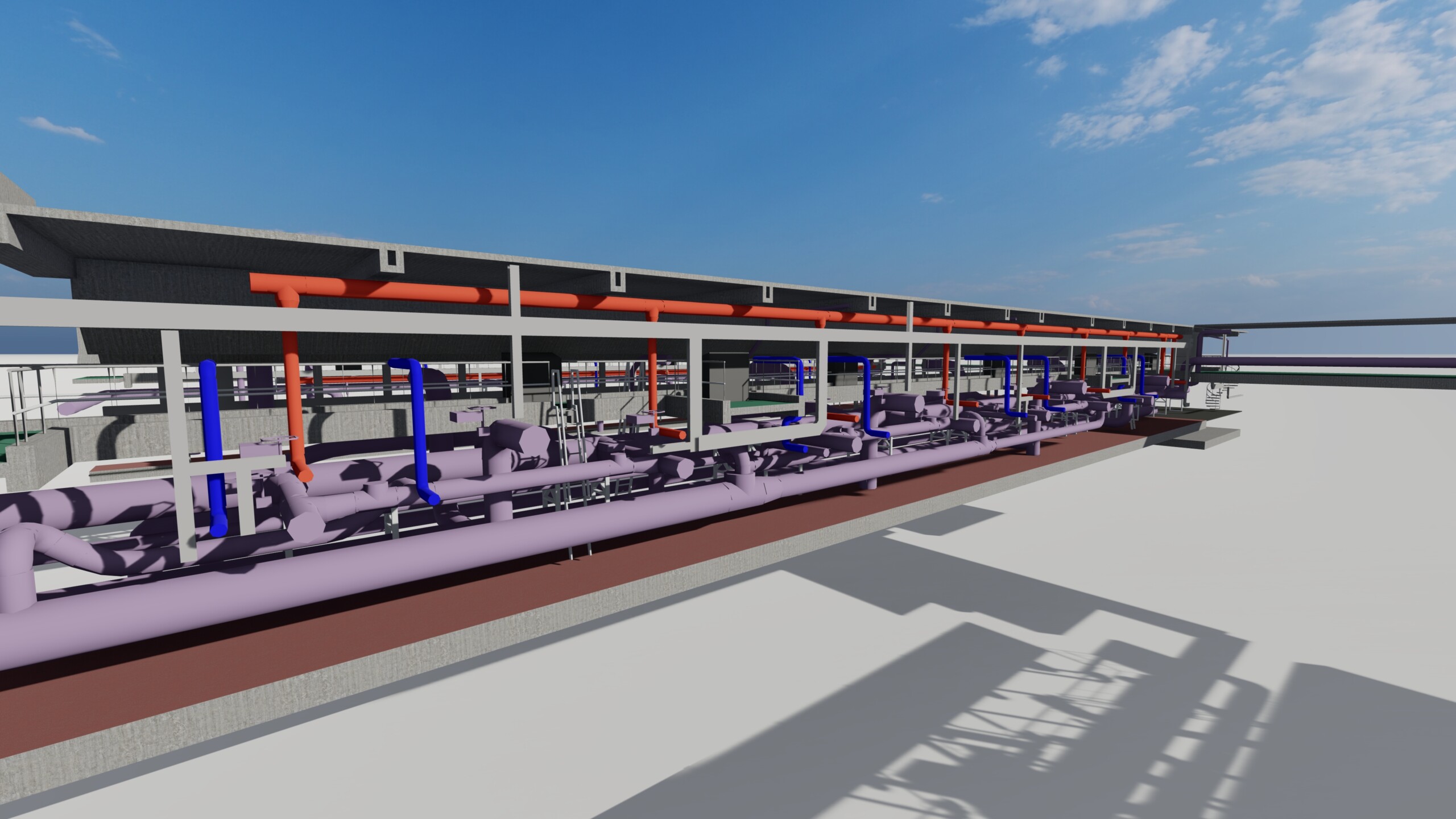
We do not identify which services the pipework holds in laser scanned projects and will represent all pipe– and duct-work as a generic type.
We can combine Service models with topographical and building models of the site or wider area to provide further context and site information. Underground services will be combined with a basic topographical model as standard due to the need to host some site based components on a surface.
More Details

LOD2—Overall sizes and routes
Pipe or duct diameter as seen/measured (insulation included within diameter if visible), tank size, chamber size etc., with straight runs between measured points below ground and basic fittings to represent routing above ground.

Considerations for Services Models
Services (subsurface and above ground MEP) will be shown to LOD2 only. We cannot provide more accuracy or information due to detection/survey methods. We are not qualified to identify types of above ground service based on visual inspection only, so all above ground services are given a generic ‘Pipe’ or ‘duct’ identity only. Below ground services are identified either by our surveyors or from service records, and all 3D information including depths and chamber types will be based upon the survey our team carry out.

